INDUSTRY & ENERGY
We have extensive experience in industrial 3D laser scanning and therefore in the production of as-built surveys for a significant number of industrial sites including refineries, oil drilling facilities, steel mills, mines and chemical plants.
We have scanned a number of vessels many in dry dock but more challengingly a number that are afloat. Due to the tight tolerances demanded within industrial plant environments, the accuracy of information is essential. All our surveys are carried out utilising precise total station instrumentation for survey control.
Our workflows both in the field and post-processing ensure that the results achieved in scan registration are within tolerance.
If requested control and scan registration reports can be supplied as a deliverable. Where possible we permanently mark control points and benchmarks on site. A control report will be supplied as a deliverable.
This coordinate system can then be used for design and setting out of new structures as well as construction verification scanning following installations. This ensures that all stakeholders are working from a common grid throughout the lifecycle of the project.
Some clients utilise point clouds as a reference so they are able to work in a hybrid (cloud-CAD) environment, for clients who are not familiar with point clouds we offer cloud to CAD conversion.
We create accurate and detailed 3D CAD models (DWG, DGN) but increasingly we convert the point cloud into more intelligent models compatible with AVEVA PDMS, AutoCAD Plant or Open Plant. We can support clients through the design stage. In close cooperation with process engineers or site managers, we can simulate the optimal position of new or replaced elements such as pipes, reactors, structural elements etc.
This is all done in 3D in CAD or in PDMS – the client receives 3D model to review and sign off. ISO drawings can then be produced with material schedules to be ordered and assembled on site. This process assures the client that there is no margin for design error saving both time on site and potentials material costs. For industry purposes, we also offer reverse engineering services.
BENEFITS OF 3D LASER SCANNING:
Data Drawdown
Relevant products can be extracted from the scan data through the course of a project, or as funds become available without the need for costly revisits to the site. E.g. basic planning elevations can be enhanced to full architectural detail once planning is granted.
Multiple Products
Single scan datasets can be utilised to create a variety individual products. The same data set could produce both 2D elevation drawing, a 3D topographical survey or DTM.
Time and cost savings
Efficiencies gained by less time on site. Multiple production staff can access the dataset concurrently shortening project timeframes.
Accuracy
Accuracy that previously could not be achieved by single point measurement.
Complexity
Full capture of geometry for complex and organic shapes.
Access
Data can be captured remotely, safely and non-intrusively.
Perfection
Lower risk of design error
Ease of Sharing
Data can be easily shared and reviewed by all stakeholders

INDUSTRIAL APPLICATION RELATED PROJECTS:

Blowout preventer (BOP)
3D CAD models, Aveva PDMS, Deformation surveys, Industrial Applications-
Baterpol
3D CAD models, Deformation surveys, Industrial Applications, Registered Point cloud -
Zdzieszowice
Industrial Applications, Registered Point cloud, Truviews -
Siekierki
Industrial Applications, Registered Point cloud, Truviews -
Sugar Refinery
3D mesh models, Industrial Applications, Registered Point cloud, Truviews -
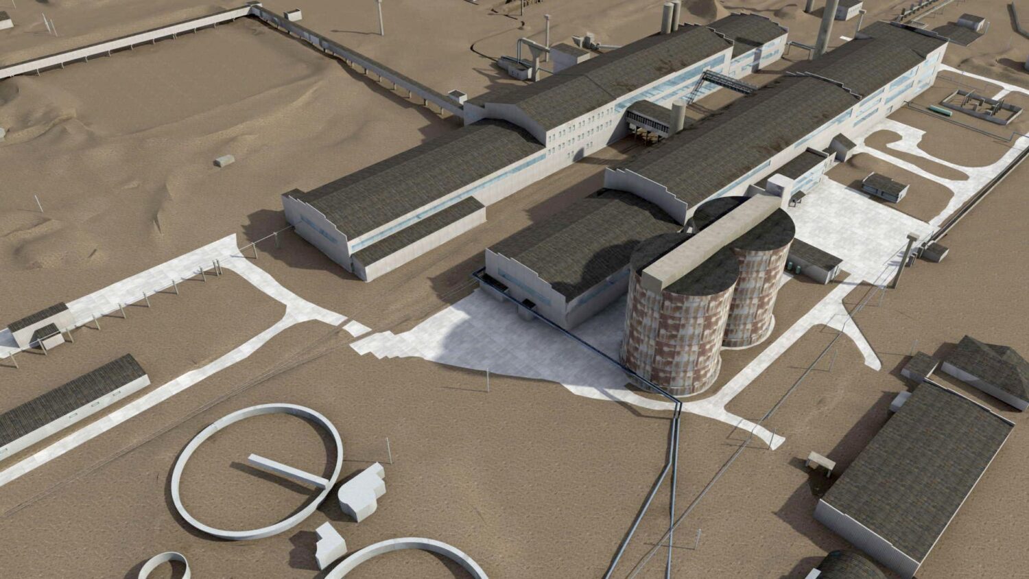
Oil field in Iraq
Industrial Applications, Registered Point cloud, Truviews -
Industrial site in Scotland
Aveva PDMS, Clash detection, Digital Plant, Industrial Applications, Registered Point cloud, Truviews -
Netherlands chemical site
Aveva PDMS, Digital Plant, Industrial Applications, Registered Point cloud, Truviews -
Northern England chemical plant
Aveva PDMS, Digital Plant, Industrial Applications, Registered Point cloud, Truviews -
Silos in Chełm
Deformation surveys, Industrial Applications, Registered Point cloud, Truviews -
PKP Słomniki
Clash detection, Industrial Applications, Registered Point cloud -
Kozienice power plant
Clash detection, Industrial Applications, Registered Point cloud, Truviews