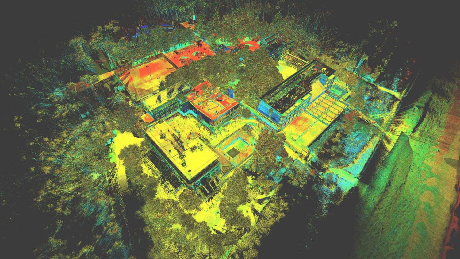
2D OR 3D TOPOGRAPHICAL INFORMATION CAN BE EXTRACTED FROM THE POINT CLOUDS
THIS CAN BE DELIVERED IN A VARIETY OF FORMATS AND LEVELS OF DETAIL THAT CAN BE TAILORED TO SUIT YOUR SPECIFIC REQUIREMENTS
Topographical surveys can be created using scan data, in either 2D or 3D formats. Where possible we employ our own terrestrial tripod-mounted scanners for data collection. For large scale projects, we can use data captured from mobile mapping or UAV (Unmanned Aerial Vehicle) systems.
Topographical surveys based on this methodology can be conducted in the majority of urban or rural settings. 3Deling have also gained specialised experience in capturing topographic information in the rail environment, including P-way details and symbols.
ADVANTAGES:
Accurate and comprehensive deliverables
Can be verified against an existing point cloud
Vast experience of working with different standards and industries
Single Dataset – Can be completed altogether with other products, such as elevations, with no need to perform a separate site operation
VIDEO:
VIDEO: