• mail@3deling.com
  • +48 793 398 768
  • PL
  • DE
  • UA

URBAN PLANNING

Laser scanning can be utilised to capture significant urban areas in a timely and efficient manner. For the majority of applications, terrestrial scanning (Tripod mounted) is the best methodology. For larger or inaccessible areas such as major roads or brownfield sites Mobile scanning (vehicle mounted) or Ariel scanning (UAV) can be organised.

3Deling have worked for clients within a number of environments such as building development, roads and rail across a range of countries. We can quickly adapt to new standards and specifications.

Products include:
• 2D or 3D Topographical Surveys
• Digital Terrain Models
• Rights of Light Modelling
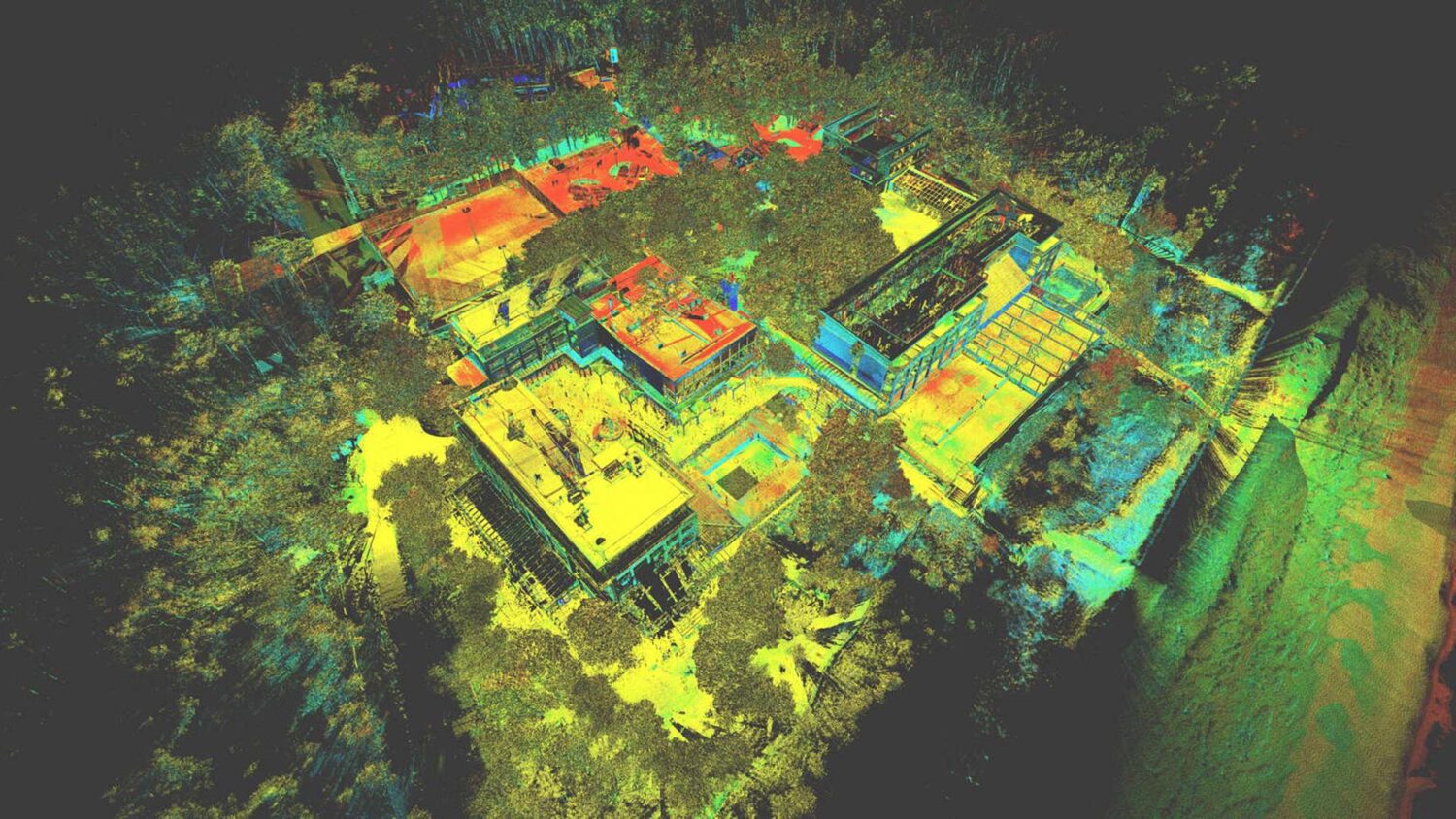
• Processing and production of point cloud collected from airborne devices

BENEFITS OF 3D LASER SCANNING:

Complexity

Complex and inaccessible areas can be captured safely and quickly compared to traditional methods.

Accuracy

High detail and high precision.

Visualisations

Marketing content can be produced (in the form of visualisations).

Scale

Ideal for large scale areas.

VIDEO:

URBAN PLANNING RELATED PROJECTS:

urban

Office in Cracow, Poland

3Deling Sp z o.o.
Wincentego Pola st. 7/46
31-532 Krakow, Poland
+48 793 398 768
mail@3deling.com

Office in London, UK

3Deling Laser Scanning
Services LTD
6 Artichoke Mews | London
SE5 8TS | UNITED KINGDOM
+44 7739 036 829
mail@3deling.com

Office in Stavanger, Norway

3Deling Norway As
Røynebergsletta 32
4033 Stavanger, Norway
+47 464 437 12
mail@3deling.com

Office in Lviv, Ukraine

3Deling Systems LTD
Sakharova 42, Lviv
Office 511-512, 79012, Ukraine
+38 (097) 317 30 86
mail@3deling.com

Project pricing:

Paweł Dudek
PL: +48 793 398 768
Robert Bell
UK: +44 7739 036 829
Rune Gjøse
NO: +47 464 437 12
Marta Kobryn
UKR: +38 (099)125 06 43

Custom Services:

Social Media: